Pins with names
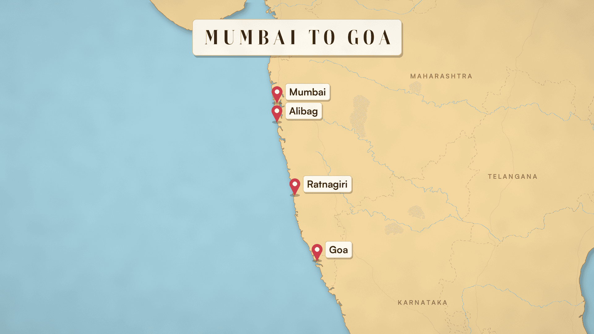
A pin and a clear label at every stop, steady from the first frame to the last.
Turn a trip into an animated route map video on real geography: every stop pinned and named, the route drawn as you travel. Gemini Omni 1.2 Flash.
Your generated content will appear here
Example
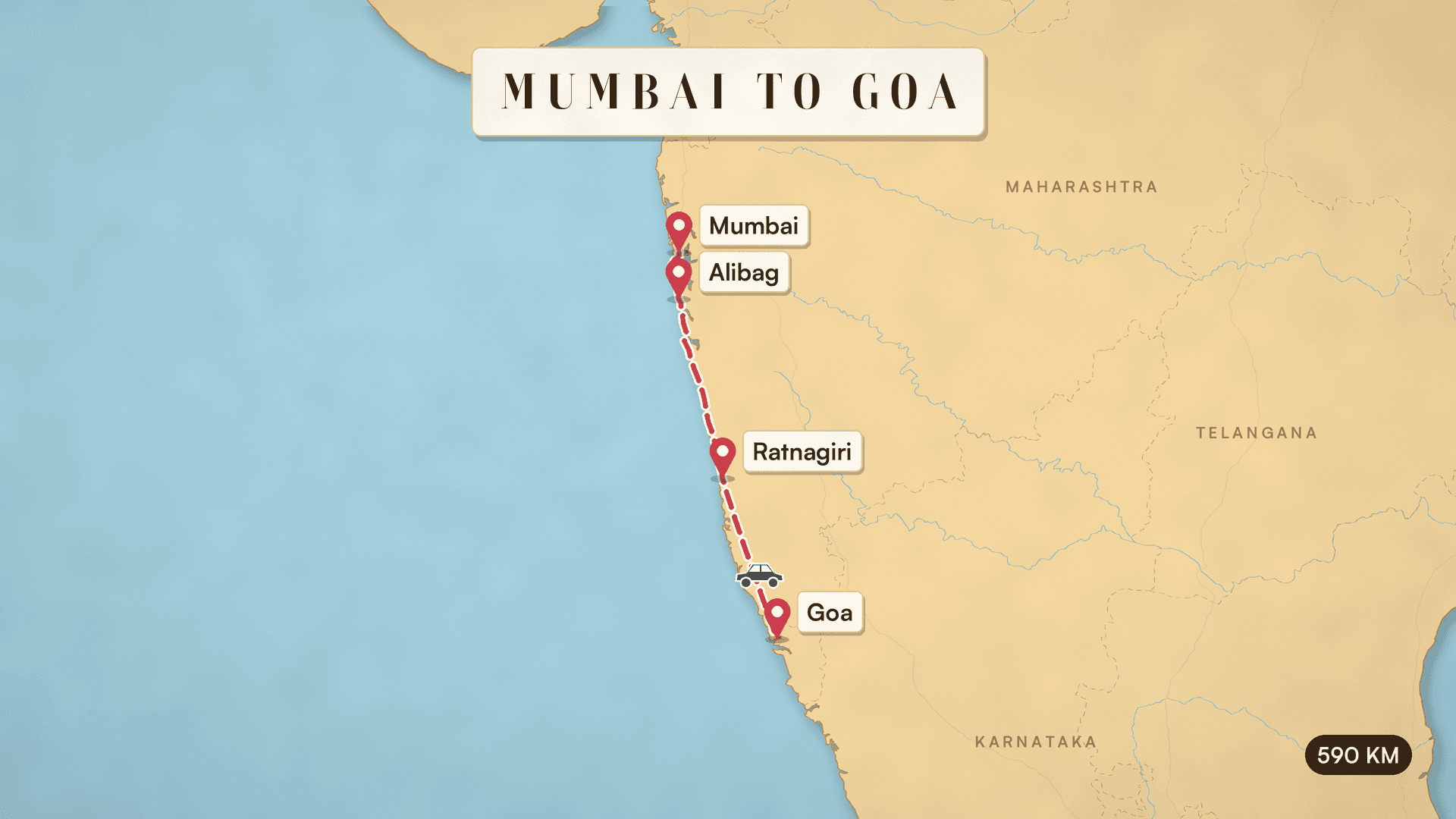
One run from one sentence: Mumbai to Goa by car down the Konkan coast, via Alibag and Ratnagiri, 590 km.
Map Video
Map frames (opening, finished)
About this Pixelflow
Animated Travel Route Map Video turns a trip in one sentence into a 10-second animated map on real geography. Every stop is pinned and named, the route draws itself on and a car, train, plane or boat travels it to the end. Pick a paper, atlas, night or vintage map, landscape or vertical. Made with Gemini 3.8 Flash and Gemini Omni 1.2 Flash.
The start, the stops, the end, how you travel and the distance if you know it. Pick a map style and a shape.
Gemini 3.8 Flash looks up where each stop is, and the map is drawn from real map data with every stop in its true place.
Gemini Omni 1.2 Flash draws the route from stop to stop as the vehicle travels it, ending on the finished map.
You give
It runs
 Gemini 3.8 Flash
 Gemini Omni 1.2 Flash Image to Video
You get
The route reaches each stop in order, with its name beside its own pin.
A pin and a clear label at every stop, steady from the first frame to the last.
The real coastline, borders and states, with every stop in its true position.
Paper, atlas, night or vintage, in landscape or vertical.
The map with its stops and the finished map with the route come back as images for posts and slides.
Three files per run.
16:9 or 9:16 MP4, 10 seconds, 720p.
The map with its stops and the finished map with the route, as PNGs.
Gemini Omni 1.2 Flash makes the video, Gemini 3.8 Flash places the stops and the frames are drawn from Natural Earth map data.
Open a trip video with the route you took, vertical for Reels and Shorts.
Show the stops of a package tour, a road trip or a rail pass.
Show where you came from and where you went.
Building with it? Read the Animated Travel Route Map Video API docs.
Up to eight, including the start and the end.
Yes. Coastlines, borders, states, rivers and lakes come from Natural Earth map data, with India's official borders, and every stop sits at its real coordinates. The route is a smooth line through your stops, not the exact road or flight path.
Paper (cut paper, warm colours), atlas (clean and light), night (dark, with a glowing route) and vintage (old parchment), each in landscape 16:9 or vertical 9:16.
Usually: a pop for each pin, the vehicle and light music. A take can come back silent; add music in your editor if so.
Yes. It runs through the Pixelflow API with the same inputs: submit a run, then poll for the result.
 Make Two Versions of a Video for A/B Tests
 Animated Chart Video from Your Numbers
 Tamil and Bengali Greeting Video with Animated Lettering
 Hindi Greeting Video with Animated Lettering
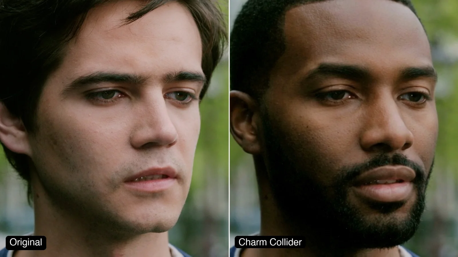 Segmind Charm Collider
 PDF to Two-Host AI Podcast with Cover Art
 Logo to Brand Kit Generator
 Ad Localizer: Transcreate Ad Copy for Three Markets
Call it from your code with the same inputs you used here, or talk to us about running it at volume. Segmind is an authorised channel partner of ElevenLabs, Google, ByteDance, Alibaba, OpenAI, Kling and 40+ more AI providers.